Blog

Reflections on experiencing the best of this little bit of world around us

Donard Foothills

Maps and photos note: click or tap to see any maps or photographs below as a high resolution version.

Please reuse this map but first see: https://www.openstreetmap.org/copyright

Newcastle is the natural kicking off point for many Mourne Mountain explorations. For many this means an ascent of Slieve Donard – which is likely to be memorable, if not always entirely enjoyable. Rather too much up and down and not enough along and across for some, including myself. However, what many miss is that Newcastle is also a good starting point for a whole range of interesting diverse mid-level circular routes in the Mourne foothills. These routes may also be appropriate at times when access to the high Mournes would be too difficult, dangerous or simply unpleasant owing to winter conditions, inclement weather or cloud.

Continue reading
Whitespots Country Park to Helen’s Bay

Maps and photos note: click or tap to see any maps or photographs below as a high resolution version.

Please reuse this map but first see: https://www.openstreetmap.org/copyright

This route follows the old Ulster Way from Whitespots Country Park (the site of old lead mines), through the Clandeboye Estate woods, past Helen’s Tower, along linear beech woods and farm lanes before joining Clandeboye Avenue for the last 3km to Helen’s Bay Station.

TYPELinear walk with train and  bus travel option
DISTANCE6.1 miles / 9.8 km
SURFACESPaths and tracks, generally good, but with short muddy sections.
HEIGHT GAIN / LOSS430 feet of ascent, 570 feet descent
HAZARDS– short walk along fast busy road on verge
– dual carriageway crossing in mid walk, difficult at rush hour and busy times
    – if starting by bus, dual carriageway crossing – difficult at rush hour and busy times
Continue reading

A wildflower odyssey

The discerning reader will have noted that there are an inordinate number of photographs of me on this blog. Some kind person suggested that I was ‘gracing the landscape’ but I tend to think that my presence is more probably just a matter of providing scale. In any event, suffice to say that I accompany Charlie on many of these walks and I often seem to get in the way of the photographic artistry.

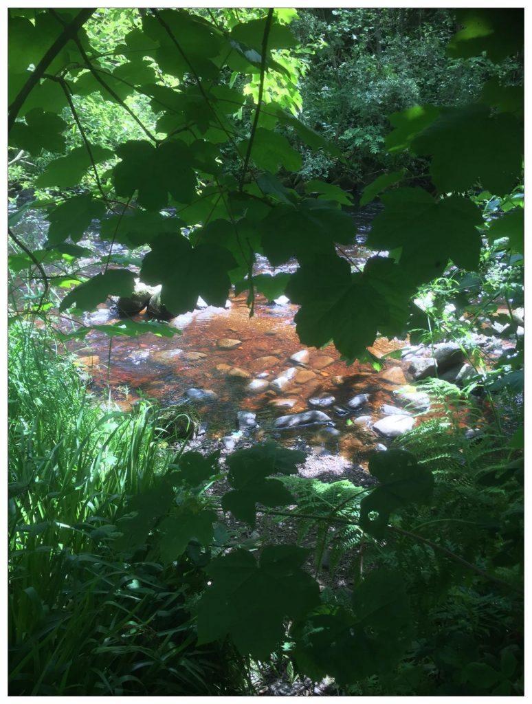
  • A glimpse of the Burntollet River through the trees

Continue reading

What to wear (avoiding the wrong trousers)!

“Any mug can be miserable” a wise outdoor leader of my acquaintance was fond of saying. To enjoy the outdoors, and be safe, misery should be carefully avoided whenever possible – and a very big part of this is having the right clothes. For these walks expensive kit is not required – most people will already have the basics – the trick is having what you need with you when you need it.

This is very closely related to weather – rain, wind, sun and, frequently in these parts, all three arrive on the same day with sleet and snow sometimes thrown in as well. The weather when you leave home is unlikely to be the weather when you start walking and even less likely to be the weather you get all day. So I always take a small rucksack with enough clothes to deal with the most extreme weather I might encounter. Carrying all your clothes on your back is a sure route to misery – and probably sooner rather than later. Being too hot can be as uncomfortable as too cold (take off a layer).  Getting sweaty climbing up can lead to you getting chilled when stopping to rest or eat – so put on a layer. Rain or strong wind – get your waterproof on before you get wet or chilled. Temperature drop / wind chill – get your hat and gloves on.