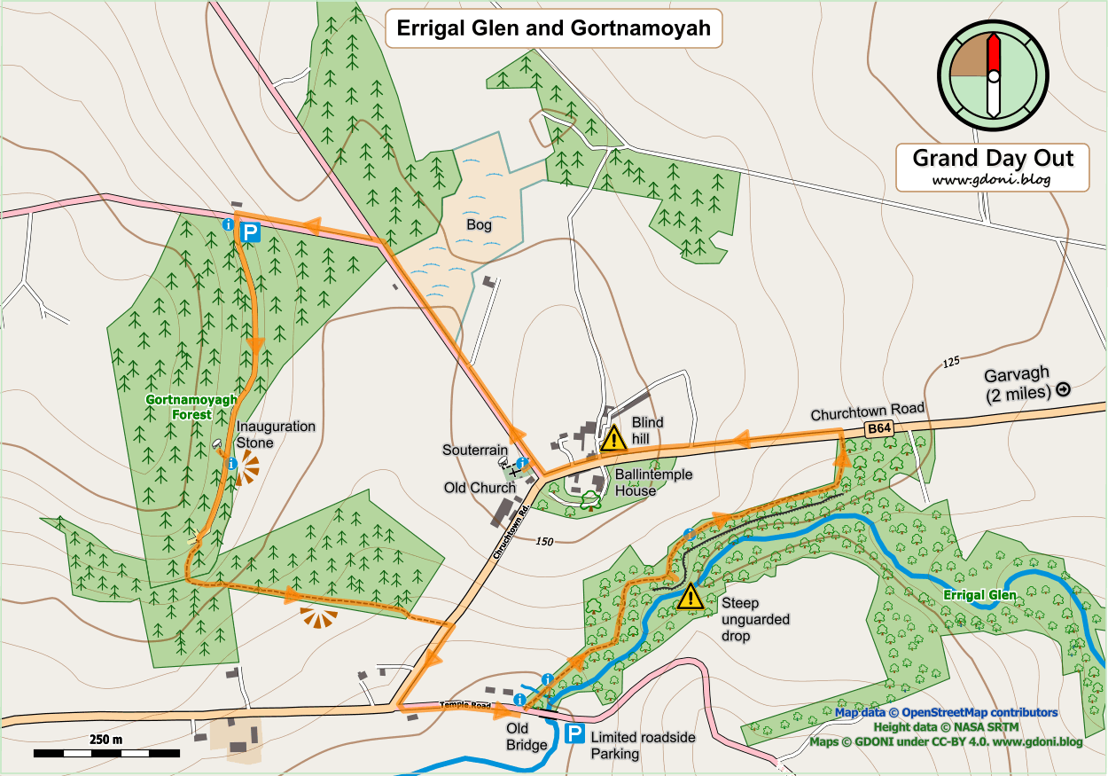
Maps and photos note: click or tap to see any maps or photographs below as a high resolution version.

| TYPE | Circular walk up through natural wooded glen to open mountain and viewpoint and back along riverside. |
|---|---|
| DISTANCE | 0.75 miles /1.2 km |
| SURFACES | Mostly well made compacted surfaces with variable slopes. |
| HEIGHT GAIN / LOSS | 150 feet climb |
| HAZARDS |
|
Don’t be put off by the shortness of this route – it is a great little walk crammed full of woodland and heath richness with some of the best views in Fermanagh. It certainly wouldn’t fill a day, but it would be an ideal excursion between showers on a clear fresh day when the views will be at their best and the rocky Glen fills with cascades of tumbling water. It also combines well with the Lough Navar Forest Drive and other shorter stops at the Cliffs of Magho and Lough Achork. See map at end of this post for details.
Continue reading