
Maps and photos note: click or tap to see any maps or photographs below as a high resolution version.

| TYPE | Coastal walk with beach (tidal), sand dunes, estuary urban and a ruined castle |
|---|---|
| DISTANCE | 4.7 miles / 7. km or 6.1 miles / 9.8 km |
| SURFACES | Beach stony in places with pools. boardwalks, tracks, pavements and a short road walk |
| HEIGHT GAIN / LOSS | 190 feet climb |
| HAZARDS |
|
This short section of the Irish Columban Way is one of the most attractive and diverse of the entire route. Here St Columbanus shares his way with St Patrick, the Ulster Way, the Lecale Way and the Newcastle Way (in part). While the branding is rather overdone the waymarking is not, so the descriptions and map here are necessary to find your way.
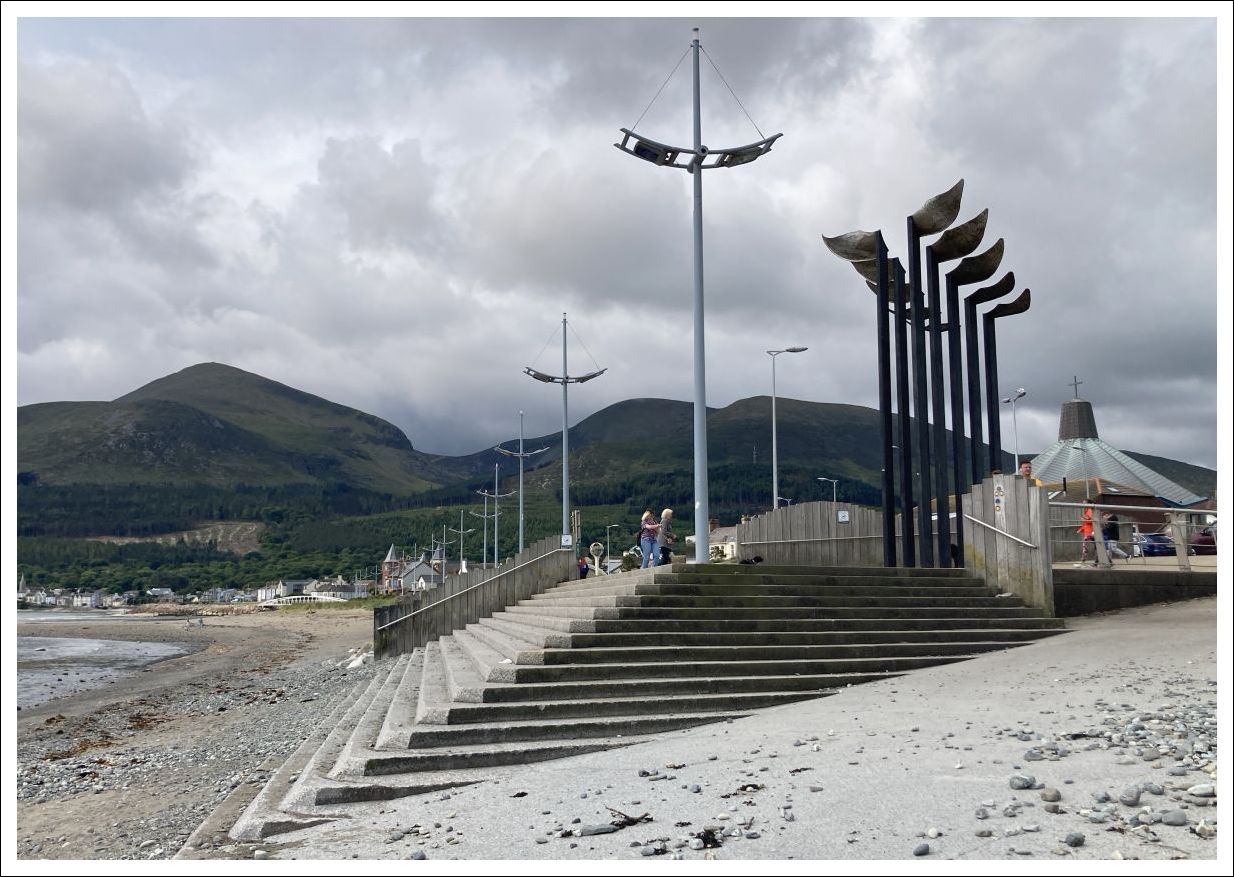
The route starts at the north, rather abrupt, end of the Newcastle promenade. There is an impressive sculpture here which makes for a good meeting landmark.
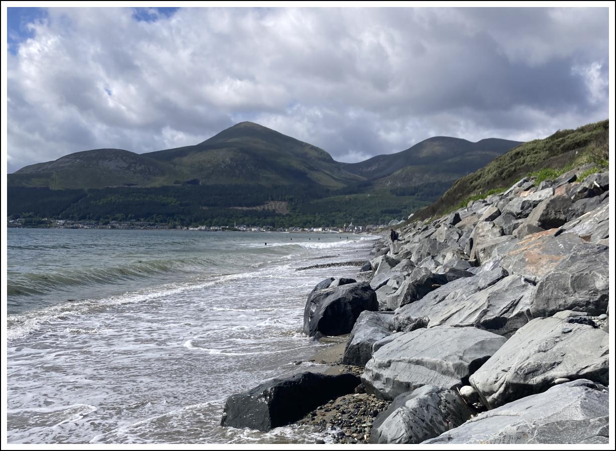
Looking north the promenade is replaced by the Slieve Donard Hotel sea defences which extend beyond the high water mark. This route cannot be accessed at high tide and for at least 1.5 hours either side. So planning this walk requires you to study tide tables. Ideally walk on a falling tide at least 3 hours after high tide.
So dire warnings over – lets get walking.

The Mountains of Mourne and the twin peaks of Donard and Commedagh will form a dramatic backdrop (visibility permitting) to your entire walk. Being a backdrop it is behind you so look back frequently not to miss the ever changing moods of the “Kingdom of Mourne”!

Your walking experience will again be influenced by the tides. Walking between mid and high tide will constrain you to softer sand and smooth round pebbly shore.
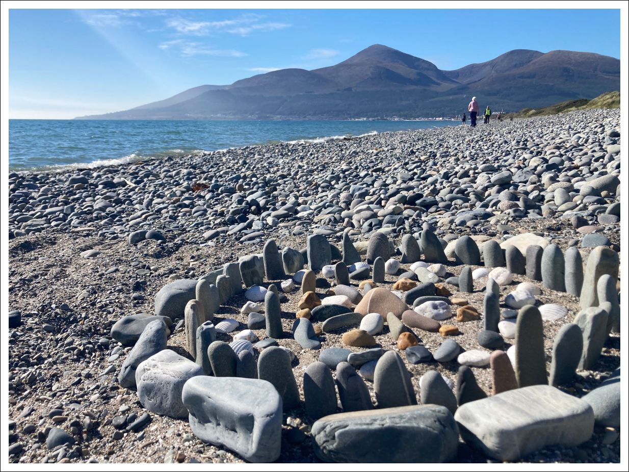
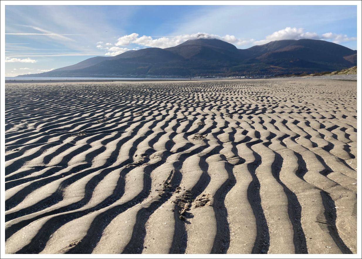
Walking from mid to low tide will give the option of a vast expanse of hard sand interspersed with tidal pools and channels. Reasonably easy walking but water resistant footwear is highly recommended.
After 1.7 miles it is time to leave the beach. In the summer a RNLI lifeguard station marks the exit point and can’t really be missed.
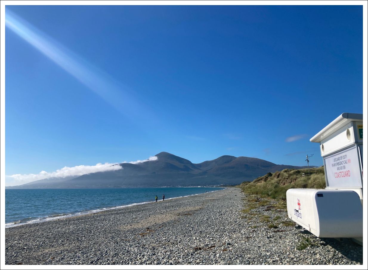
However this mysteriously vanishes each year between September and November when you will have to keep your eyes open for a rather busy signpost at the top of the beach (a weather station high on a white pole just behind this also marks the spot.
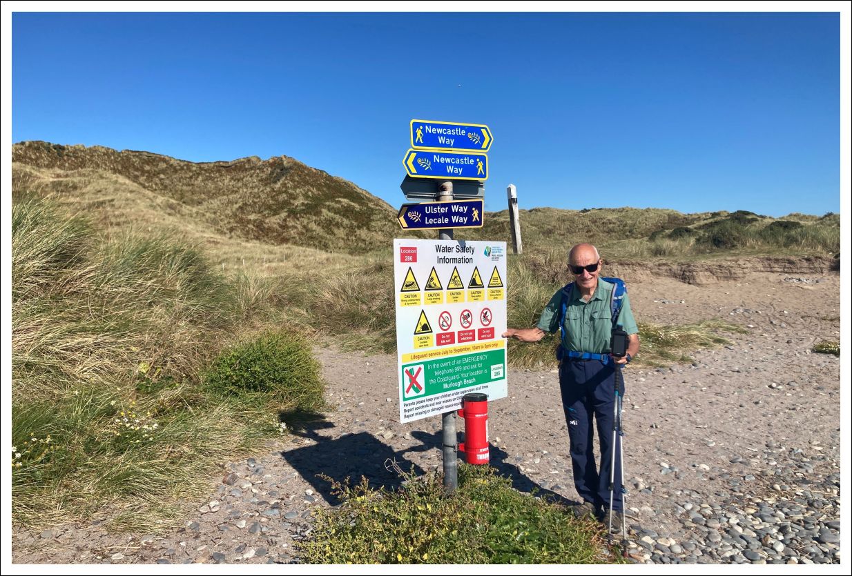
The main (shorter) route now follows the Ulster Way inland on a board walk way into the National Trust Murlough Nature Reserve
All Coast Option (purple dashed line)
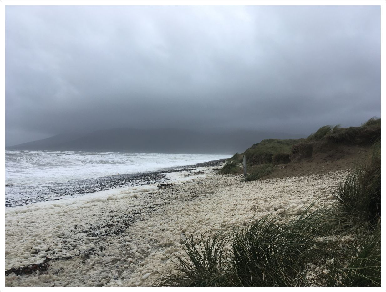
However – given clement weather (not guaranteed) and a little extra time you may wish to stay on the shore route.
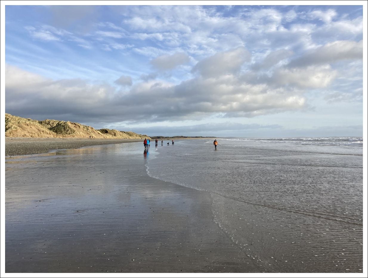
The sense of wildness grows here, as do the dunes. Ahead you should be able to make out St John’s Point Lighthouse, on a clear day to the right Snaefell on the Isle of Man and Cumbrian mountains beyond. In the time of Patrick, Brigid, Columbanus, Colmcille and those who followed, these places were closely linked by monastic networks of shared faith and scholarship.
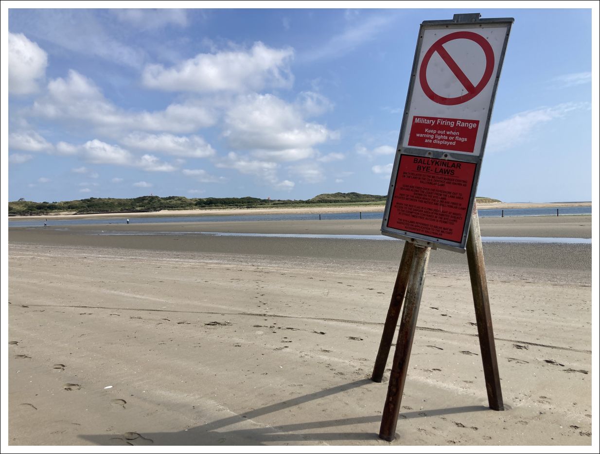
You now come to the mouth of Dundrum Bay where the sand bears left and the low dunes of Ballykinler training range close in from the right. The sandy beach across from you (which is definitely out of bounds) is a favourite haul-out spot for large numbers of seals. The army ranges beaches make a much more peaceful habitat as they lack the inquisitive dogs and humans which cause so much disturbance and problems for them elsewhere. Please remember this and keep your distance if seals are present across the waterway.
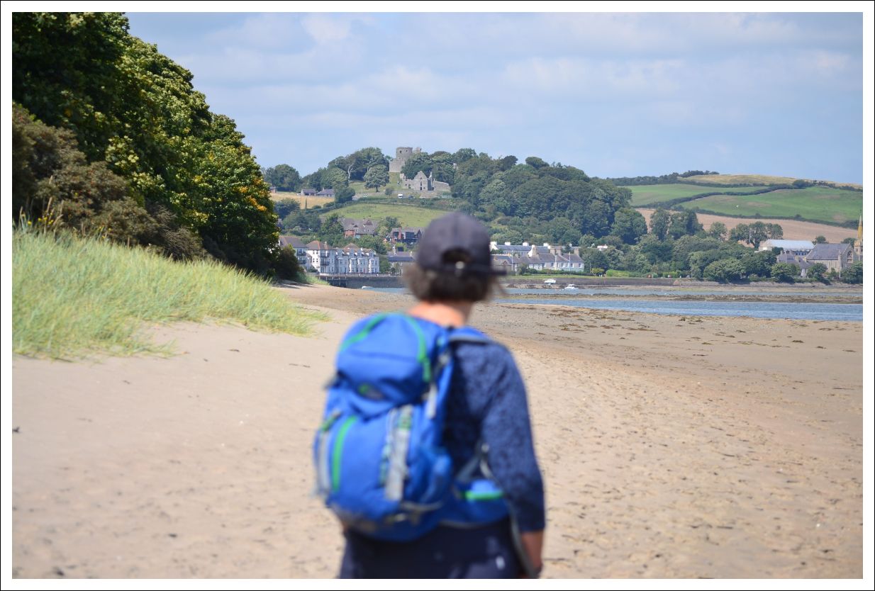
Continuing to follow the beach, Dundrum and its ancient Castle come into sight. Further around the corner a waymarked made path leaves the beach. Follow along keeping the lough on your left until you arrive at the Downshire Bridge where you rejoin the main route.
Back to the Main Route
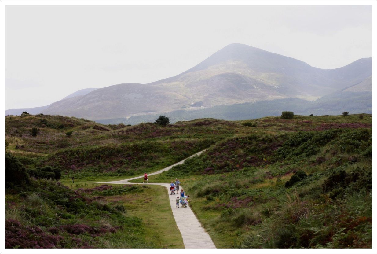
Follow the board walk inland, initially between low marram grass dunes and then winding through steeper dunes with increasing amounts of heather. These are older dunes which had their calcium content leached out making them more acidic and therefore suitable for Ericaceous plants such as heathers. This heathland dunes system also supports many mosses and lichens and a great diversity of moths and butterflies.
Before long the boardwalk forks with the left branch going to the car park which has additional seasonal facilities. The right fork takes you on your way and before long the landscape changes completely again and you find yourself on the edge of an extensive tidal estuary with a backdrop of low drumlin farmland. Here you turn right on a quiet vehicle track to again follow the water.
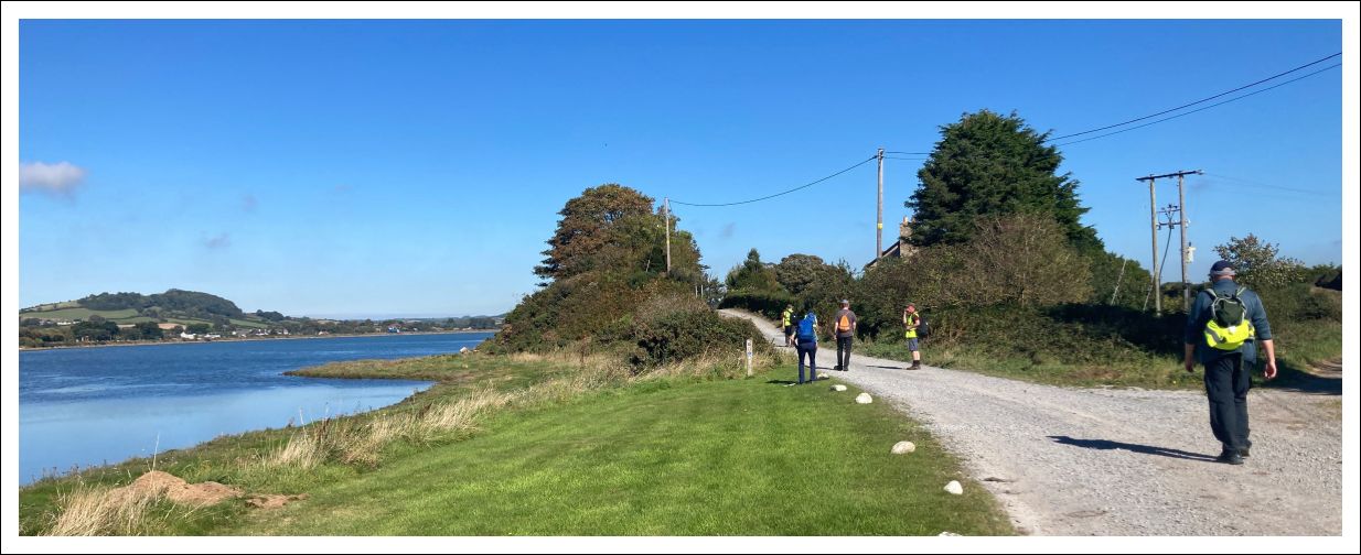
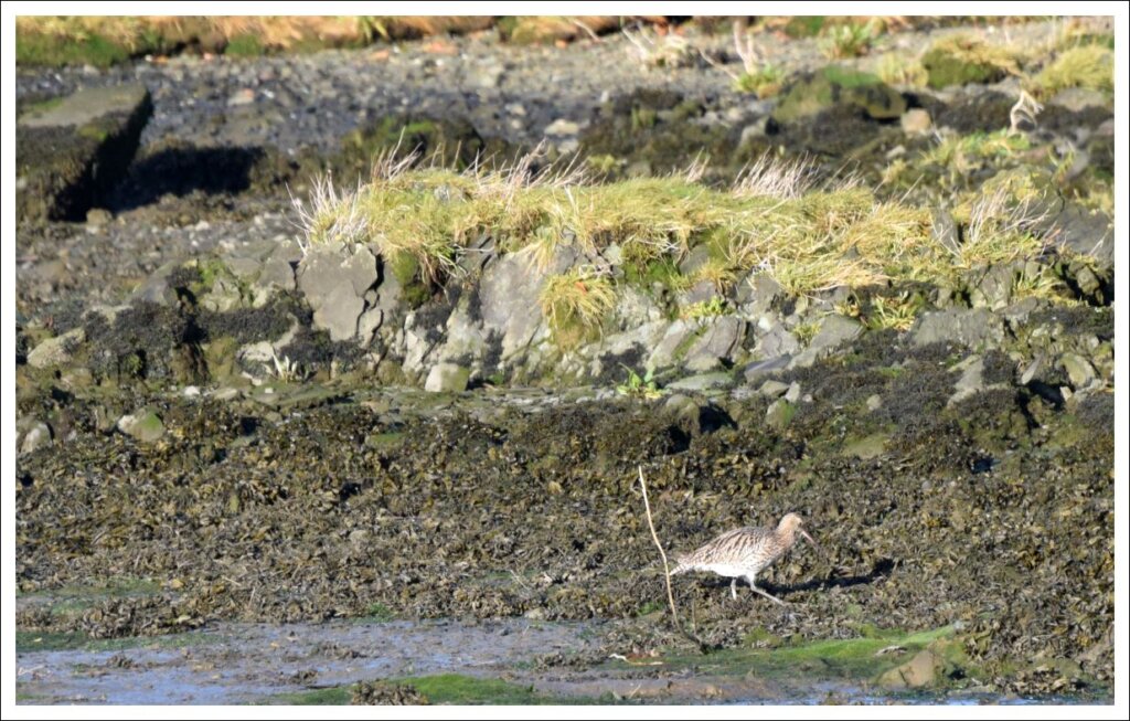
Now to the name Murlough which today is attached to the reserve and duneland promontory. The name probably derived from the old Irish word Muirbolc, which can be translated as “Sea Bag” which I rather like. It is certainly descriptive of the landscape here which, with its tidal oscillations forms a kind of giant green lung. The area is particularly rich in bird life and the gallery below contains a small sample from one early morning visit.
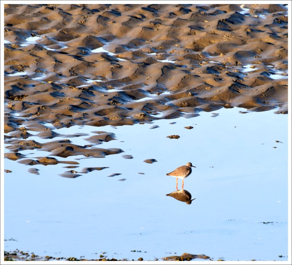
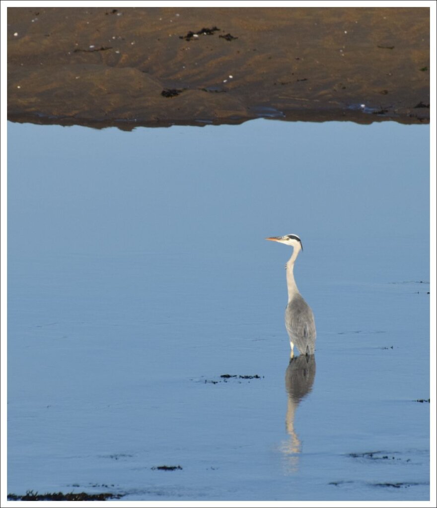
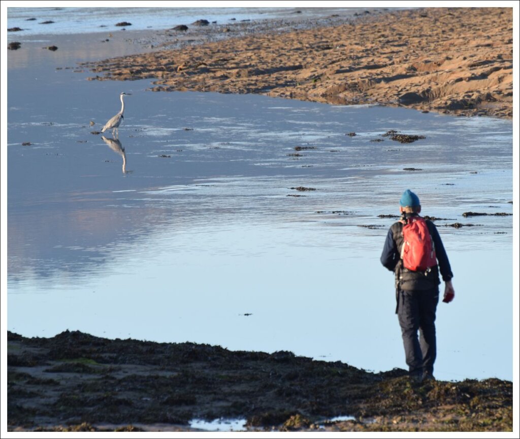

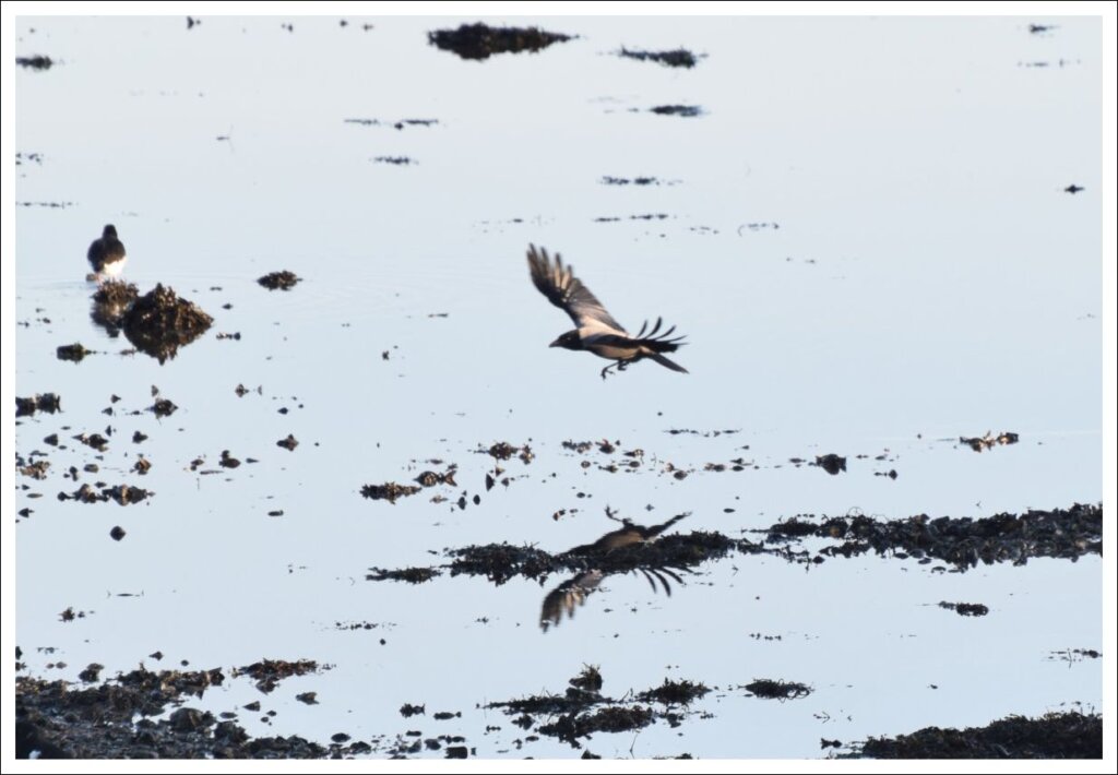

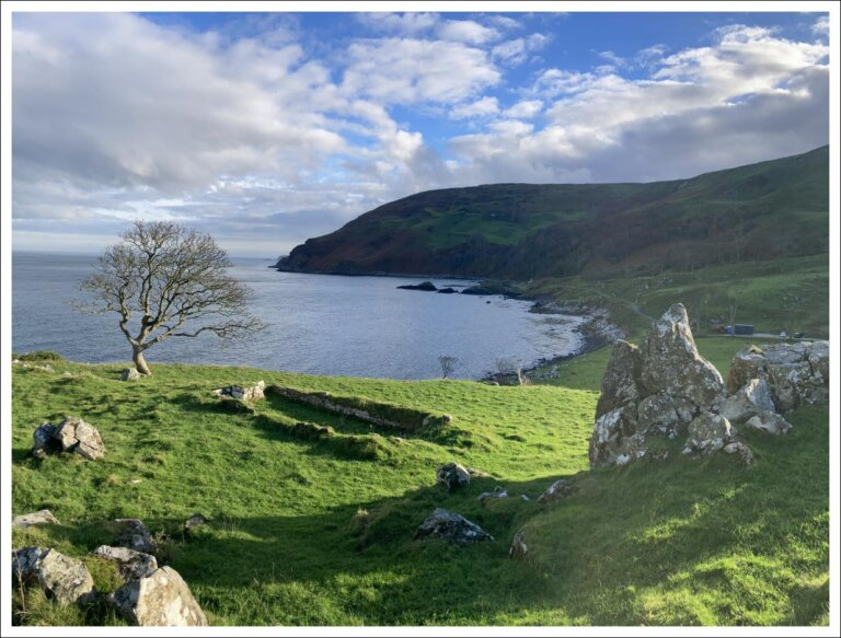
Before moving on I will to refer to another Murlough Bay, 85 miles to the north of our walk on the Antrim coast. This Murlough Bay is also a place of exceptional beauty, is owned by the National Trust and features on a walk on this blog: (Murlough Bay (under Fair Head). There however the similarity ends and there is certainly no estuarine “sea bag” and the steep slopes drop sharply into the powerful tidal flows of the Straits of Moyle. The name therefore is a puzzle, but my preferred explanation is that the root here is not Muirbolc, but Moluag a contemporary of Saint Colmcille associated with Co Antrim and the Scottish Isles. There is a ruined church there associated with him on a rocky promontory. The tracing of the meaning of placenames is a fascinating, but perilous pursuit!
Continuing along the shore you see increasing signs of human intervention on the landscape. The track is elevated above the flats below and a massive deep ditch appears on your right. Next you arrive at the Downshire Bridge linked to man-made Keel Point which together bisect the inner lough.
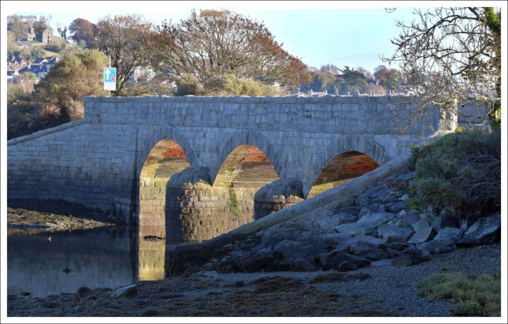
The bridge was built in 1870 by the Downshire family to link Dundrum to their house here on the farmland at the edge of the dunes. However the site is ancient and there was a wooden bridge here and before that a stone causeway. Studying old OS maps shows that even in the 1830’s there were still many causeways across and along our tidal shores (including three in Dundrum Bay marked “ford at low water”). Sometimes we need to turn our understanding inside out to see a landscape the way our ancestors did!
So cross the single track bridge watching behind you for cars coming from the northern reserve National Trust car park.
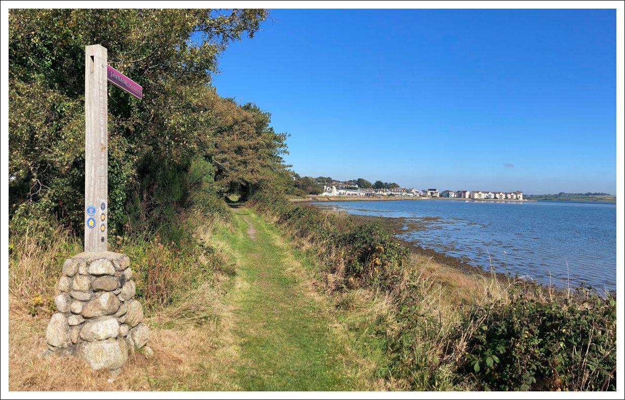
At the end of Keel Point the path turns left onto the bed of the old Downpatrick, Dundrum and Newcastle Railway, which opened on the 25 March 1869. This line ran through the foreshore mudflats, some distance from the old coastline which today is marked by the line of Dundrum main street and the A2. The land in between was “reclaimed” and is now largely built up.
Unfortunately your railway walk today is short as private houses and gardens extend across it ahead and you have to turn inland to join the busy Main Street and then turn right. This is a common problem in Northern Ireland as when the railways were closed the routes were considered obsolete and the land was sold off in a piecemeal fashion. Even though many miles of old trackbed still exist there is no mechanism to reclaim this for walking and active travel,
However – all is not lost. After 350m along the Main Street you come to a footpath back to the sea past the rather lovely new, but retro, home of Dundrum Coastal Rowing Club.
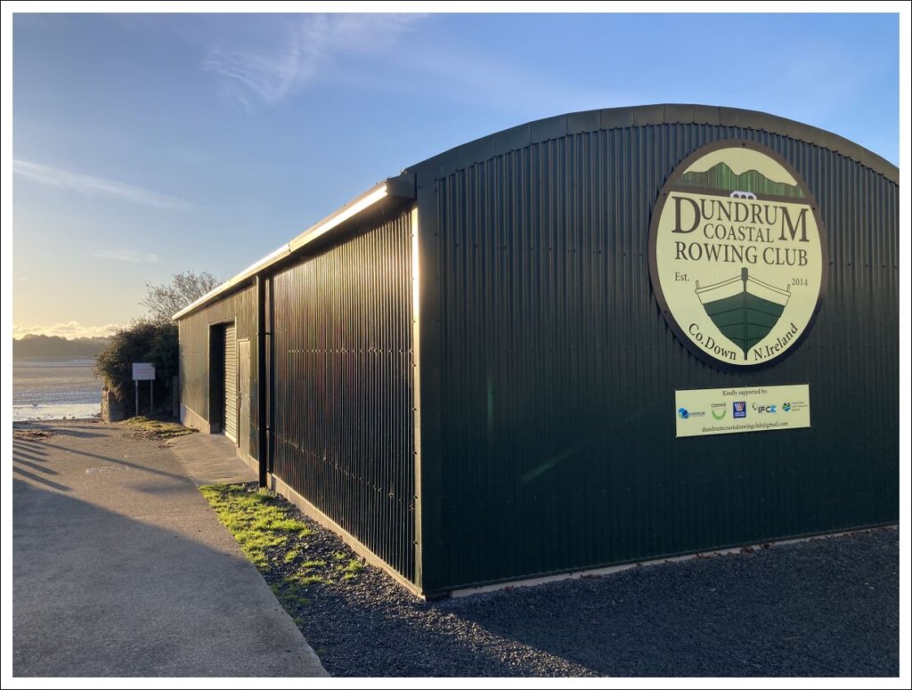
You are now again on the shore in a mini public park with great views back to the Mournes.
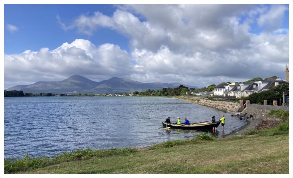
There are picnic tables and seats here – a good place to take stock and have a bite to eat (although there are good indoor options for later at both ends of Dundrum Main Street). You will also find an information board here telling the story of Brunel’s giant ship SS Great Britain which made an embarrassing unscheduled stop in the bay in 1846. Happily no lives were lost. The accident was blamed on a combination of bad weather, poor visibility and apparently mistaking the newly constructed Lighthouse at St John’s point for the lighthouse on the south tip of the Isle of Man!
“When the coastguard [came] . . . I would not believe we were in Dundrum Bay and that there was light on St John’s Point for some time.”
Letter written by Hoskenin in 1846 to the directors of the Great Western Steamship Company
SS Great Britain was aground for almost a year before being refloated in a complex salvage operation supervised by Brunel himself.
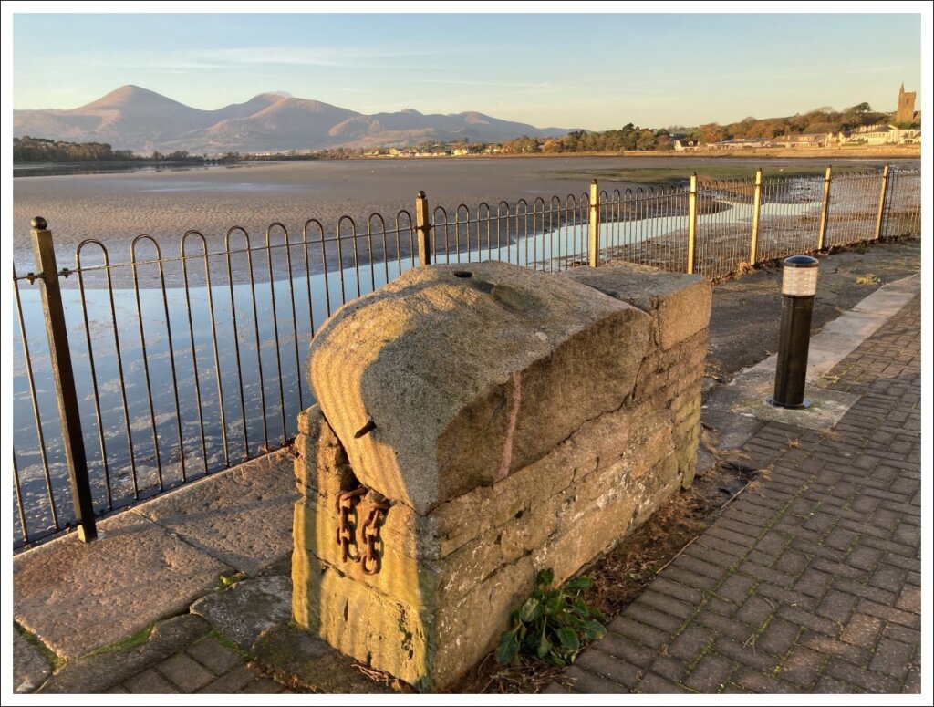
Cut across the green to a join a narrow path which runs around the corner between the modern apartments and the old Quay wall. At the corner an open paved area gives a great viewpoint over the bay.
Now continue around the path until you rejoin the Main Street where you turn left and then almost immediately right (signposted to Dundrum Castle) carefully crossing the busy road to join Manse Road. Pass an interesting clock faced house on your right and after 100m turn right into Castle Brae.
350m uphill now brings you to Dundrum Castle.
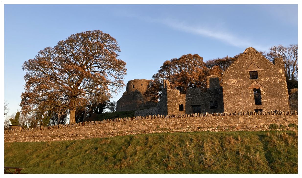
If you have travelled here by private vehicle, the ample car park here would have been the ideal place to leave it to catch a bus into Newcastle (from the Main Street bus stop near the rowing club). However, ignore the call of four wheels for the moment and continue to climb up to the ruins.

Access to the castle grounds should always be possible but the central keep tower is only open on certain days and times.
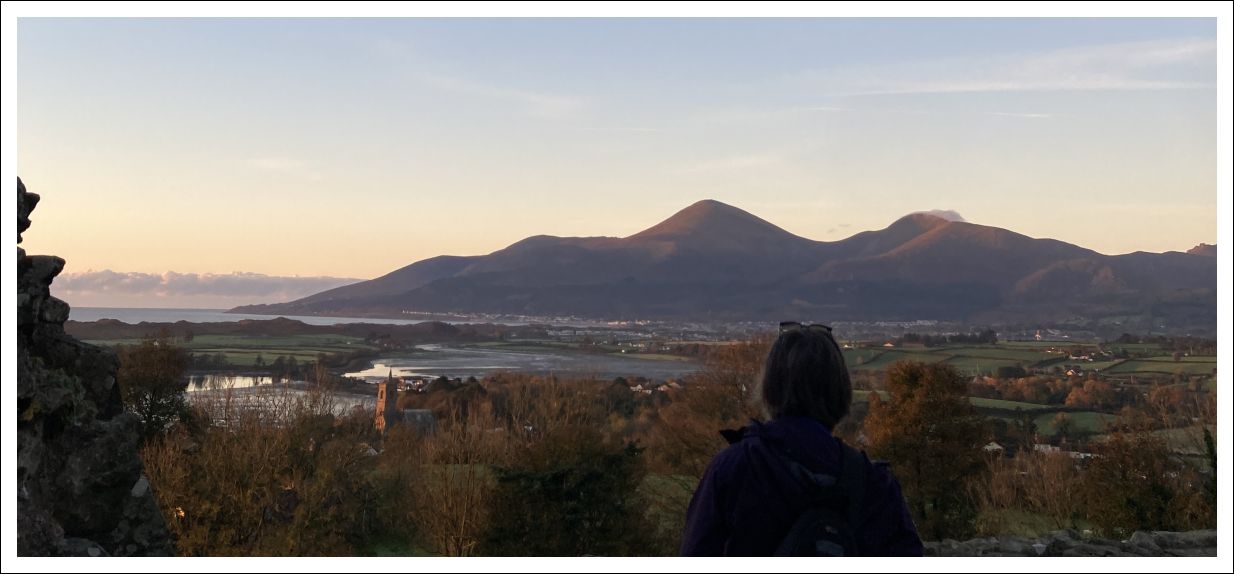
Today’s little walk ends with a big view.
Route Maps to Download and Print (PDF)
External links
- Via Columbani Irish Section
- BBC Ramblings Nov 2026 – Columban Way from Newcastle to Dundrum
- History of Murlough National Nature Reserve
- SS Great Britain (Wikipedia)
- Dundrum Castle